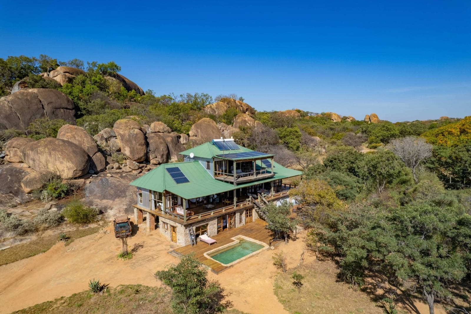
Khayelitshe House
Matobo National Park
Savanna biome · Silver cluster leaf · Mopane
Price on request
46 km away
Dry-stone walled capital of the Torwa state, west of Bulawayo
Matabeleland North, Zimbabwe
Khami is the ruined capital of the Torwa state, built in the fifteenth and sixteenth centuries after the decline of Great Zimbabwe, on the Khami River about 20 kilometres west of Bulawayo, and a World Heritage Site since 1986. Its dry-stone walls, terraced platforms and decorated passages are quieter and less visited than Great Zimbabwe, and they can be walked in a morning with a guide from the site museum. It combines with the Matobo hills, an hour to the south, and Bulawayo's museums and Art Deco streets. It is a malaria-low area.
Things to do: Ruins walks · History · Birding along the Khami River
Inside-park stays and nearby lodges, sorted by distance.
No stays are linked to Khami Ruins yet. These are the closest ones we have, by straight-line distance from the park, so check the drive before you book.
Matobo National Park
Savanna biome · Silver cluster leaf · Mopane
Price on request
46 km away

Hwange National Park
Savanna biome
Price on request
185 km away

Hwange National Park
Savanna biome
Price on request
185 km away

Hwange National Park
Savanna biome
Price on request
185 km away

Hwange National Park
Savanna biome · African elephant · Baobab
Price on request
190 km away
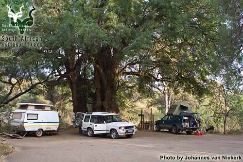
Mapungubwe National Park
Savanna biome · Lion · Honey badger
From R 421 a night
243 km away
Most of the rain at Khami Ruins falls from November to February, peaking in January at about 149 mm. The dry season runs from May to October, with little or no rain. October is the hottest month, with average highs of about 31°C, and June the coolest, with average lows of about 7°C.
| Month | Rain (mm) | Average high (°C) | Average low (°C) |
|---|---|---|---|
| January | 149 | 27 | 17 |
| February | 97 | 28 | 17 |
| March | 55 | 27 | 16 |
| April | 25 | 26 | 13 |
| May | 4 | 25 | 9 |
| June | 2 | 23 | 7 |
| July | 1 | 22 | 7 |
| August | 1 | 26 | 9 |
| September | 3 | 29 | 13 |
| October | 17 | 31 | 15 |
| November | 76 | 30 | 17 |
| December | 145 | 28 | 17 |
Averages for 2005 to 2024 at the park's centre point, about 1345 m above sea level. Weather data from Open-Meteo.com (opens in a new tab) (ERA5), CC BY 4.0.
20.1500° S, 28.3700° EOpen in Maps (opens in a new tab)
Why book here
Wild places survive when the communities around them earn more from protecting wildlife than from anything that would replace it. Every stay you book through Spekboom carries a conservation contribution built into the price, never added on top, so choosing where you sleep becomes a way to fund the people and projects keeping this landscape intact.
Khami Ruins is in Matabeleland North, Zimbabwe.
Yes. Khami Ruins is in an area recorded as malaria-free, which is why it is a common choice for families with young children and for a first safari. Malaria risk can shift with the season and the year, so confirm current advice with a travel clinic before you go.
Most of the rain at Khami Ruins falls from November to February, peaking in January at about 149 mm. The dry season runs from May to October, with little or no rain. October is the hottest month, with average highs of about 31°C, and June the coolest, with average lows of about 7°C. Averages for 2005 to 2024 at the park's centre point, about 1345 m above sea level.
The best time to visit Khami Ruins is Apr-Oct.
Popular activities at Khami Ruins include ruins walks, history, birding along the khami river.
The closest parks and reserves. Distances run centre to centre, as the crow flies.

Zimbabwe
National Park · 201 km
Massive elephant populations

Limpopo, South Africa
National Park · 253 km
Ancient kingdom archaeological site
World Heritage
National Park · 41 km · Zimbabwe
Ancient rock art and black eagles
World Heritage
Other parks and reserves that share something with Khami Ruins.
UNESCO World Heritage Sites in AfricaMalaria-free parks and game reservesNational parks and reserves in ZimbabweAll protected areas