Planning a Namibia self-drive: Sossusvlei, Etosha, the Skeleton Coast and the Fish River

Insider Guide: Namibia

Planning a Namibia self-drive: Sossusvlei, Etosha, the Skeleton Coast and the Fish River

The classic loop, the distances that decide it, the season for each stop, and the camps and resorts along the way

Updated

Namibia is the self-drive country. The roads are long, empty and mostly gravel, the distances are honest, and the reward is a landscape that changes completely every day: the red dunes of the Namib one morning, the white pan of Etosha a few days later, the fog and shipwrecks of the coast in between. Two weeks and a sturdy car cover the classic loop; three weeks let you add the far north or the far south.

This guide follows the loop clockwise from Windhoek: south-west to Sossusvlei and the NamibRand, north up the coast through Swakopmund and the Skeleton Coast, inland through Damaraland to Etosha, and, if there is time, the long run south to the Fish River Canyon. Each section says when it is at its best and lists the stays, from the Namibia Wildlife Resorts camps inside the parks to the private camps on the reserves. One cause runs through the desert: Elephant-Human Relations Aid, which works with the communities who share Damaraland with its desert elephants.
Sossusvlei and the NamibRand

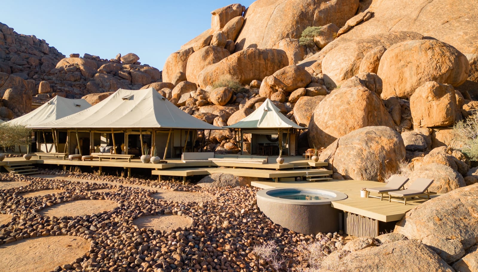
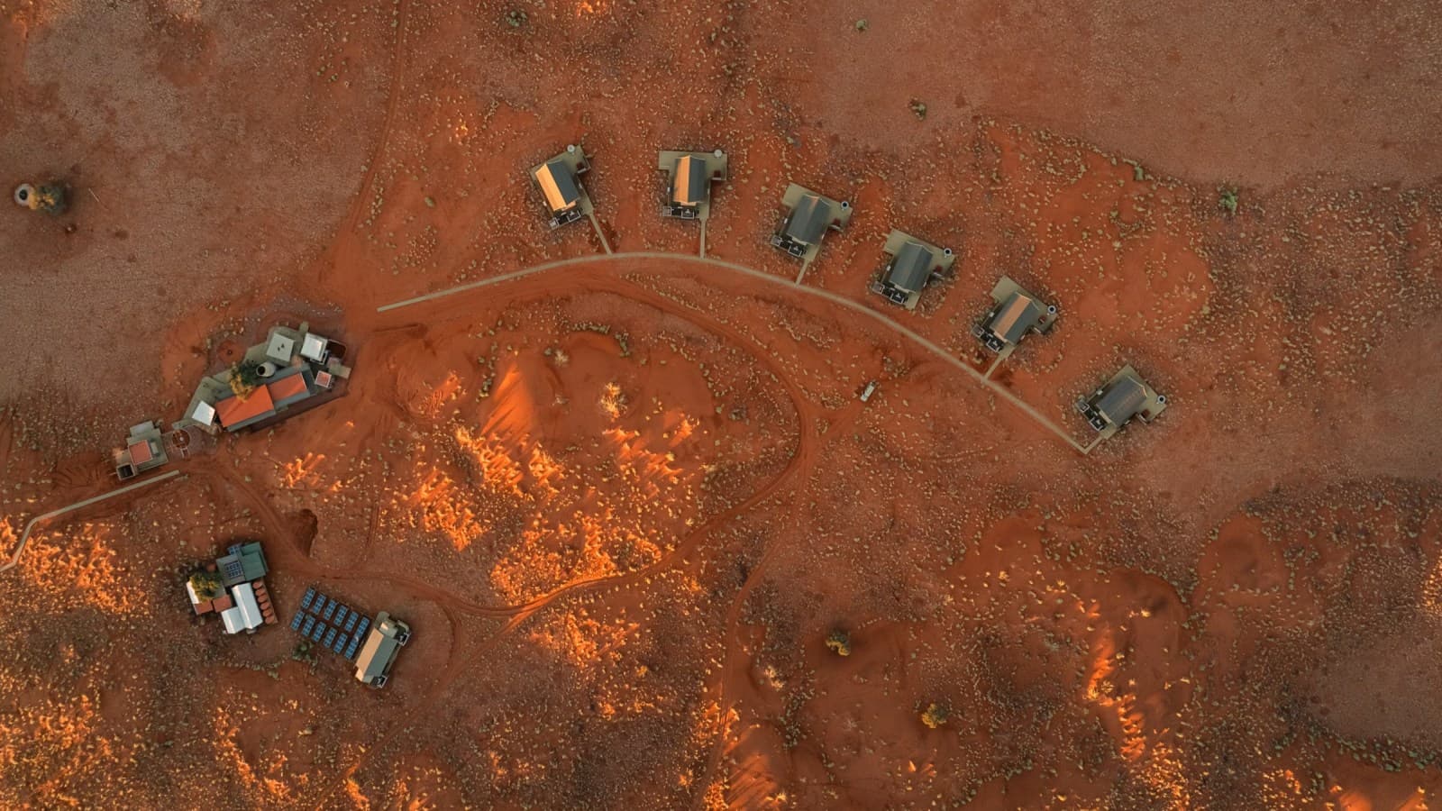
The dunes of Sossusvlei are the image of Namibia: red sand walls up to 300 metres high around a white clay pan with dead camelthorn trees standing in it. The gate at Sesriem opens at sunrise, and staying inside it, at the NWR camp or lodge, is the only way to be on the dunes for first light before the day visitors arrive. South of the park the NamibRand Nature Reserve is a private reserve of dunes, gravel plains and mountains, one of the darkest certified night skies on earth and the site of the Wolwedans camps.

Winter, May to September, is the season: cool mornings, clear air, no heat haze. Summer is very hot on the sand, and the light is best before eight.

Swakopmund and the Skeleton Coast

Where the desert meets the cold Atlantic the coast is fog, seals, shipwrecks and a German-colonial town with cake. Swakopmund is the base for the coast: a day for the town, a day for the Sandwich Harbour dunes or the living-desert tours, then north past Henties Bay and the Cape Cross seal colony into the Skeleton Coast park, where the road runs between dunes and surf to the fishing camps at Torra Bay and Terrace Bay. Beyond them the coast is concession country, reached by air.

The coast is cool all year and the fog is thickest in the mornings. The fishing camps open in the summer holidays; the rest of the coast is a winter and shoulder-season drive.

Stays on the coast

Swakopmund guesthouses and the resorts up the shore.

Damaraland and the desert elephants

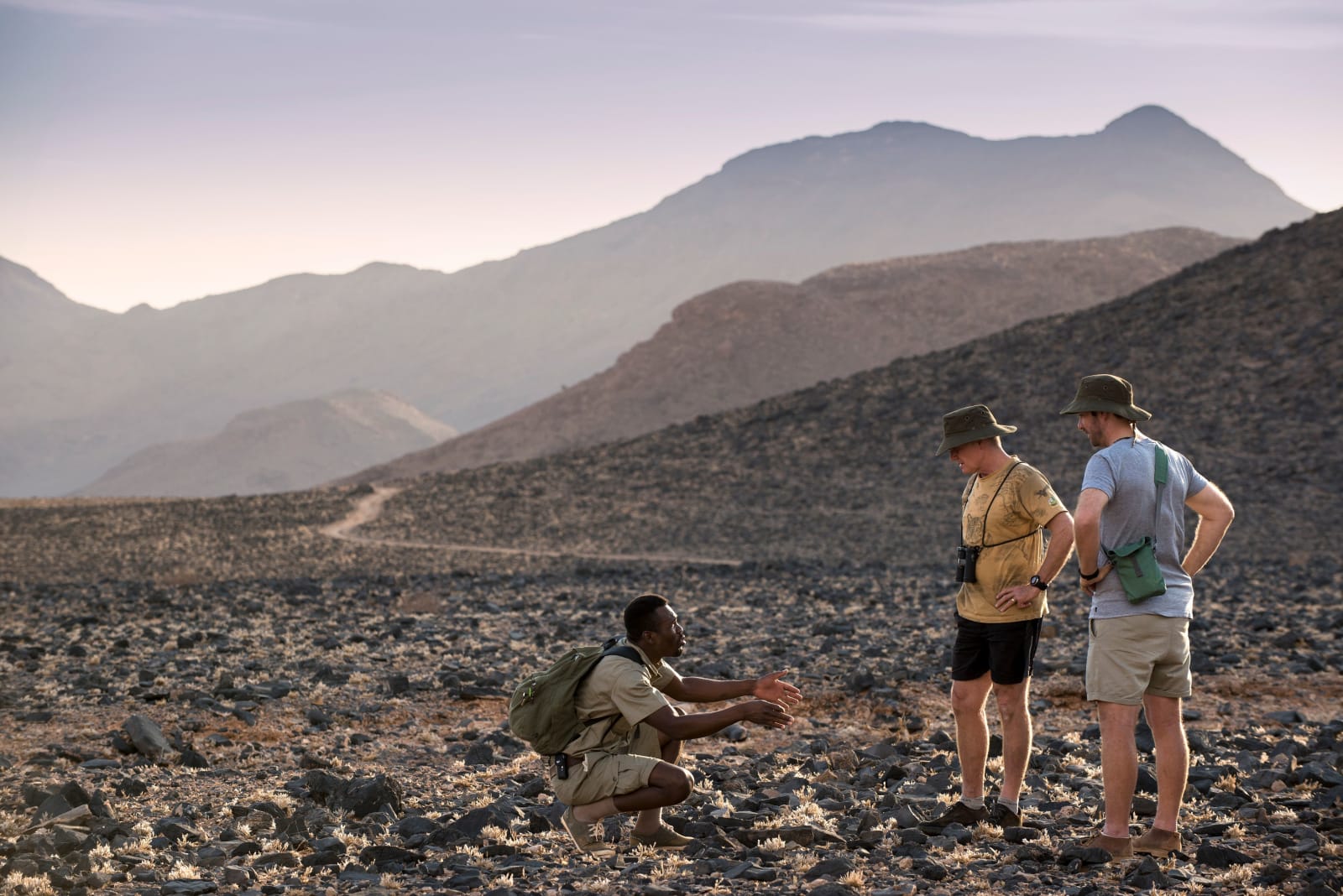
Inland from the coast, Damaraland is the most beautiful drive in the country: red basalt, the Brandberg, the rock engravings of Twyfelfontein, and the dry rivers, the Ugab, the Huab and the Hoanib, down which the desert-adapted elephants move. They are not a separate species, but they walk further and drink less than any other elephant, and finding them along a dry riverbed is one of Namibia's great experiences. The communities who farm along the same rivers are the people Elephant-Human Relations Aid works with.

The stays are camps in the riverbeds and lodges under the mountains, best in the dry season when the elephants are on the rivers.

Stays in Damaraland

Riverbed camps and lodges under the Brandberg.

Etosha

Etosha is a salt pan the size of a small country with a ring of waterholes around it, and the game viewing is done by parking at a waterhole and waiting. In the dry season that wait is short: elephant, giraffe, zebra, springbok and the predators that follow them come in through the day, and the floodlit waterholes at Okaukuejo, Halali and Namutoni run through the night. Staying inside the park at the NWR resorts is the way to have the waterholes after the gates close.

August to October is the peak, hot and dry with the most animals at water. The green season turns the pan into a shallow lake with flamingos, and the west of the park, reached from Dolomite and Olifantsrus, is the quiet end.

The far south: the Fish River Canyon

Two long days south of Windhoek the Fish River has cut a canyon 160 kilometres long and 500 metres deep into the plateau, second only to the Grand Canyon. The viewpoints at Hobas look down into it; the hot springs at Ai-Ais sit at its southern end; the five-day hike between them is one of Southern Africa's classic walks, open in the cooler months only. It pairs with the Richtersveld across the Orange River, and with a drive out through the Kalahari or back up the coast through Luderitz.

The cause in the desert

Elephant-Human Relations Aid works with the farming communities of Damaraland to make room for the desert elephants, funded in part by a share of the bookings at the stays linked to it.

Elephant-Human Relations Aid

Elephant-Human Relations Aid

Creating peaceful coexistence between desert-adapted elephants and local communities in Namibia

Namibia on a map

Every stay in this guide, around the loop.

Questions travellers ask

When is the best time to visit Namibia?

May to October, the dry winter, for cool clear days at Sossusvlei, the most game at the Etosha waterholes and the desert elephants on the Damaraland rivers. August to October is the Etosha peak. Summer, November to March, is very hot inland with occasional rain, but the coast is cool in every month and the green season turns the Etosha pan into a lake.

Do I need a 4x4 in Namibia?

Not for the classic loop. The main gravel roads to Sossusvlei, the coast, Damaraland and Etosha are graded and fine for a two-wheel-drive with good clearance, driven slowly, and Etosha's roads are gravel but ordinary. A 4x4 helps in the Kaokoveld, the far north and on the sand of the Skeleton Coast concessions. Carry two spare tyres, extra water and fuel between the long stretches.

How far is it between the stops?

Windhoek to Sossusvlei is a day of about 350 kilometres, mostly gravel. Sossusvlei to Swakopmund is another day. Swakopmund to Etosha through Damaraland is two days with a stop under the Brandberg or at Twyfelfontein. Etosha back to Windhoek is a day. The Fish River Canyon adds two long days each way to the south.

Is malaria a risk in Namibia?

The desert, the coast and the south are malaria-free. Etosha and the north, especially the Zambezi region in summer, are malaria areas. Speak to a travel clinic if your route goes north of Etosha or into the Zambezi strip in the wet season.

Plan the loop

Windhoek, Sossusvlei, the coast, Damaraland and Etosha in two weeks. Sign in to plan the route and request the stays in one go.

Plan a trip

How your stay makes an impact

Book any stay in this guide through Spekboom and a share of the booking supports the causes above. You can also donate to them directly.

1

Book your stay

Choose from the places to stay in this guide

2

Choose a cause

A portion of booking fees goes to the linked causes

3

Make an impact

Your stay supports conservation and community work on the ground